
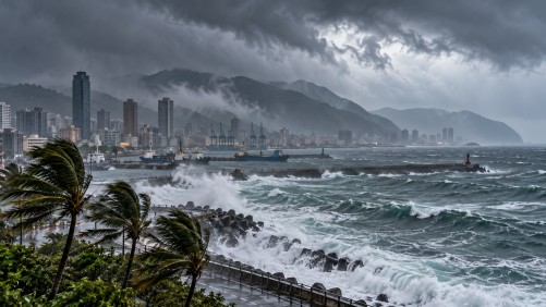
As Typhoon Champi approaches, Taiwan braces for potential heavy rainfall later this week. The storm, with maximum sustained winds of 191 kilometers per hour, is predicted to have its most significant impact on Friday and Saturday, particularly affecting central and northern regions of Taiwan, as well as the eastern counties of Yilan and Hualien.
Authorities in Taiwan are preparing to issue a sea warning for the typhoon as early as Wednesday night, with the possibility of a land warning following on Thursday night or Friday. The typhoon’s path remains uncertain, with several possible routes suggested by meteorological models. These include the storm making landfall in eastern Taiwan, veering north before reaching the island, or taking a more southerly course through the Bashi Channel between Taiwan and the Philippines.
The trajectory of Typhoon Champi will partly depend on shifts in the Pacific high-pressure system, which could steer the storm in different directions. Despite the looming threat, weather conditions across Taiwan are expected to remain relatively stable until the typhoon’s approach, with only isolated showers forecasted in some coastal and eastern areas.
As the storm moves west-northwest at around 20 kilometers per hour, its potential to maintain strength approaching the waters northeast of Taiwan remains a concern. Residents and officials are urged to stay informed about the typhoon’s progress and heed any warnings issued by the authorities.
While the exact impact of Typhoon Champi is still uncertain, preparedness measures are being emphasized to mitigate potential risks associated with heavy rainfall and strong winds. The situation continues to be monitored closely as Taiwan anticipates the storm’s arrival.